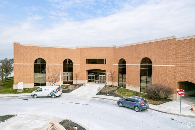
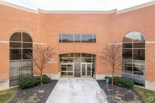
Property Record
240 Cetronia Rd, Allentown, PA 18104

NEARBY LISTINGS FOR SALE OR LEASE
Property Detail
240 Cetronia Rd
547673034699-1
Interated Health
Medicalbuilding
Lehigh
X
Pennsylvania
42011C0250G
6.96 AC
2025
Lehigh Valley
2025
Philadelphia
006203
Allentown-Bethlehem-Easton, PA-NJ
66,022 SF
DEMOGRAPHICS near 240 Cetronia Rd
1 Mile
3 Mile
5 Mile
2024 Total Population
7,437
56,556
186,442
2029 Population
7,542
57,020
188,138
Pop Growth 2024-2029
+ 1.41%
+ 0.82%
+ 0.91%
Average Age
44
42
40
2024 Total Households
3,021
21,152
70,919
HH Growth 2024-2029
+ 1.42%
+ 0.81%
+ 0.97%
Median Household Inc
$89,648
$95,058
$68,832
Avg Household Size
2.30
2.50
2.50
2024 Avg HH Vehicles
2.00
2.00
2.00
Median Home Value
$312,350
$318,827
$265,823
Median Year Built
1985
1978
1971
Nearby Places
Map Layers
Map Styles
 Street
 Aerial
- Restaurants
- Banks
- Shops
- Fitness
- Groceries
PUBLIC TRANSPORTATION
AIRPORT
Lehigh Valley International
DRIVE
WALK
Distance
Lehigh Valley International
18 min
10.2 mi
Freight Ports
Port of Philadelphia
DRIVE
WALK
Distance
Port of Philadelphia
77 min
59.0 mi
SALE & LEASE HISTORY
LISTING DATE
SALE/LEASE

Mar 03, 2017
For Lease
Nearby Properties
Address
Land Use
TOTAL SIZE
Lot Size
Zoning
Address
Land Use
TOTAL SIZE
Lot Size
Zoning
504,141 SF
44.47 AC
R2
Address
Land Use
TOTAL SIZE
Lot Size
Zoning
474,892 SF
33.35 AC
L1-L
Address
Land Use
TOTAL SIZE
Lot Size
Zoning
1,155,164 SF
101.05 AC
L1
Address
Land Use
TOTAL SIZE
Lot Size
Zoning
600,000 SF
72.02 AC
L1
Address
Land Use
TOTAL SIZE
Lot Size
Zoning
58,613 SF
26.22 AC
HC-1
Address
Land Use
TOTAL SIZE
Lot Size
Zoning
225,102 SF
20 AC
HC
Address
Land Use
TOTAL SIZE
Lot Size
Zoning
28,911 SF
35.36 AC
GI
Address
Land Use
TOTAL SIZE
Lot Size
Zoning
789,551 SF
52.39 AC
LI
Address
Land Use
TOTAL SIZE
Lot Size
Zoning
730,080 SF
44.34 AC
Address
Land Use
TOTAL SIZE
Lot Size
Zoning
730,080 SF
44.96 AC
Address
Land Use
TOTAL SIZE
Lot Size
Zoning
135,668 SF
5 AC
R3
Address
Land Use
TOTAL SIZE
Lot Size
Zoning
640,041 SF
155.76 AC
IC-1
Address
Land Use
TOTAL SIZE
Lot Size
Zoning
480,000 SF
27.94 AC
LI
Address
Land Use
TOTAL SIZE
Lot Size
Zoning
112,456 SF
5 AC
R3
Address
Land Use
TOTAL SIZE
Lot Size
Zoning
19,055 SF
194.07 AC
LI
Address
Land Use
TOTAL SIZE
Lot Size
Zoning
1,250 SF
80.20 AC
CR
Address
Land Use
TOTAL SIZE
Lot Size
Zoning
91,706 SF
17.27 AC
HC-I
Address
Land Use
TOTAL SIZE
Lot Size
Zoning
205,985 SF
28.37 AC
C
Address
Land Use
TOTAL SIZE
Lot Size
Zoning
244,481 SF
30.24 AC
LI
Address
Land Use
TOTAL SIZE
Lot Size
Zoning
222,783 SF
49.47 AC
R-3
Address
Land Use
TOTAL SIZE
Lot Size
Zoning
214,790 SF
12.09 AC
GC-1
Address
Land Use
TOTAL SIZE
Lot Size
Zoning
525,868 SF
32.38 AC
LI
Address
Land Use
TOTAL SIZE
Lot Size
Zoning
81,261 SF
41.18 AC
L1
Address
Land Use
TOTAL SIZE
Lot Size
Zoning
5,762 SF
31.01 AC
U
Address
Land Use
TOTAL SIZE
Lot Size
Zoning
28,897 SF
33.79 AC
HC-I
Address
Land Use
TOTAL SIZE
Lot Size
Zoning
11,850 SF
32.34 AC
R-ML
Address
Land Use
TOTAL SIZE
Lot Size
Zoning
77,506 SF
24.65 AC
C
Address
Land Use
TOTAL SIZE
Lot Size
Zoning
492,518 SF
29.32 AC
LI
Address
Land Use
TOTAL SIZE
Lot Size
Zoning
523,123 SF
38.24 AC
LI
Address
Land Use
TOTAL SIZE
Lot Size
Zoning
19,850 SF
15.01 AC
R3
The World's #1 Commercial Real Estate Marketplace
Connect with us
© 2026 CoStar Group
The information above has been obtained from sources believed reliable. While we do not doubt its accuracy we have not verified it and make no guarantee, warranty or representation about it. It is your responsibility to independently confirm its accuracy and completeness. Any projections, opinions, assumptions, or estimates used are for example only and do not represent the current or future performance of the property. The value of this transaction to you depends on tax and other factors which should be evaluated by your tax, financial, and legal advisors. You and your advisors should conduct a careful, independent investigation of the property to determine to your satisfaction the suitability of the property for your needs.